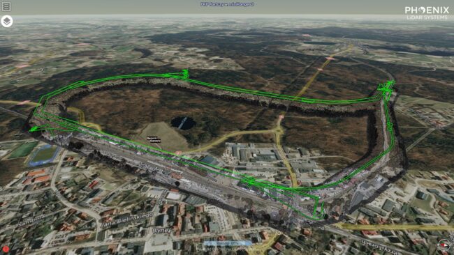
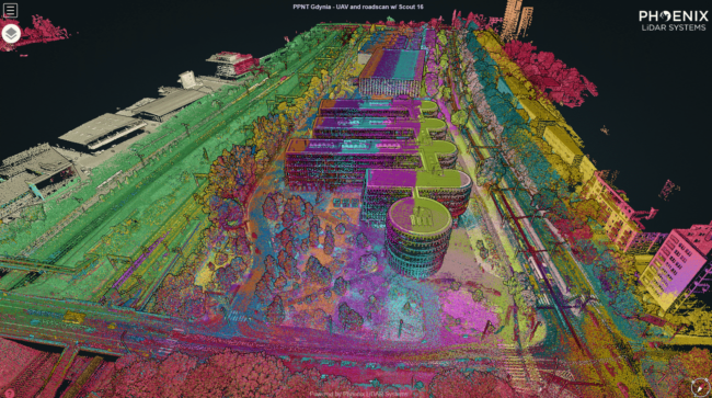
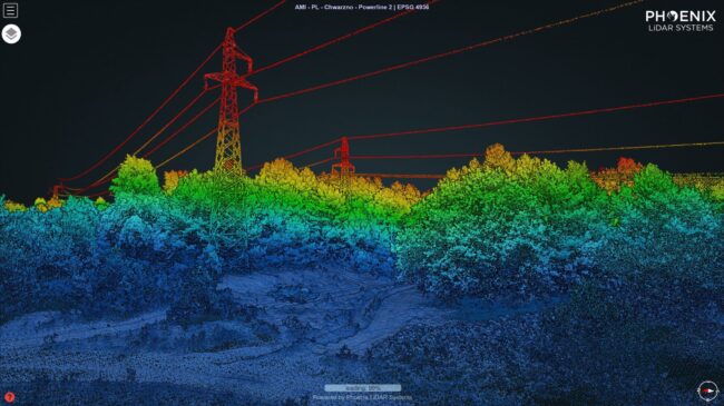
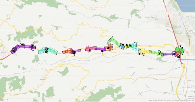
The miniRanger 2 by Phoenix LiDAR Systems delivered the best quality digital terrain model (DTM) of the forest area among 4 surveying technologies in a head-to-head comparison study by GeoPartner
UAV LiDAR proved to be the best tool for digital terrain model (DTM) generation, and the only feasibly option in surveys of forested areas – the comparative study by GeoPartner suggests GeoPartner has been flying UAVs on their surveying projects for nearly a decade. Most recently the company coming from the coastal city of Gdansk,…
