Book a live demo or submit a pilot project and find the best LiDAR system & data post-processing solution for your business!

Grow your business with multi-vehicle 360° LiDAR systems
Aerial and ground mobile LiDAR are revolutionizing surveying & BIM
enabling industry professionals to efficiently acquire survey-grade accurate 3D data
on small, medium, and large area & corridor projects,
no matter over forested areas or in tight urban spaces – the LiDAR will help you deliver the data you need!
Contact us to find out how utilizing high-quality mobile laser scanning will help you stay ahead of your competition!
Learn LiDAR with us, and choose the best solution for your business
Do you plan to employ UAV LiDAR in your surveying workflow or wish to expand the portfolio of your UAV services?
Whatever reasons you have, we will be glad to share our technical knowledge and field expertise to support you in the realization of your LiDAR projects for the benefit of your organization and your clients.
Meet the Most Versatile LiDAR Systems

UAV
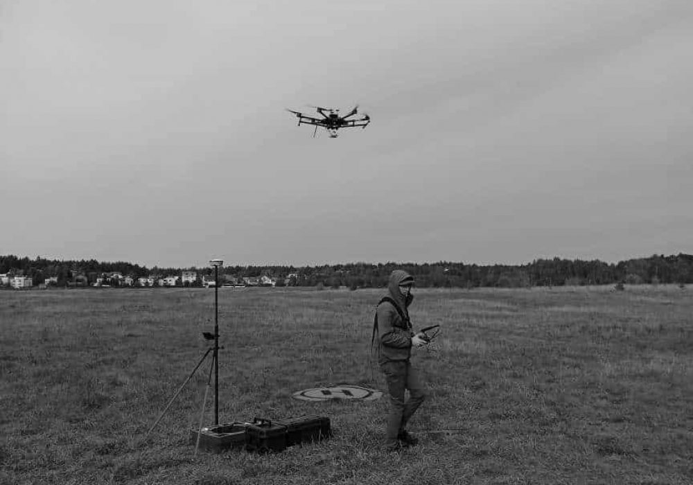
The LiDAR systems mounted on UAVs flying at over 20 km/h let you collect survey-grade measurements faster than any traditional surveying techniques. Unlike the UAV photogrammetry, the high-quality UAV LiDAR will deliver accurate & precise ground measurements of densely vegetated areas and forests.
SLAM
Simultanous localication and mapping – SLAM for short – are the algorithms that let you take you 360° LiDAR in your hands and scan anywhere you can walk into – no matter outdoors or indoors – SLAM let’s you scan locations where GNSS signal is compromised or not present at all!


Mobile
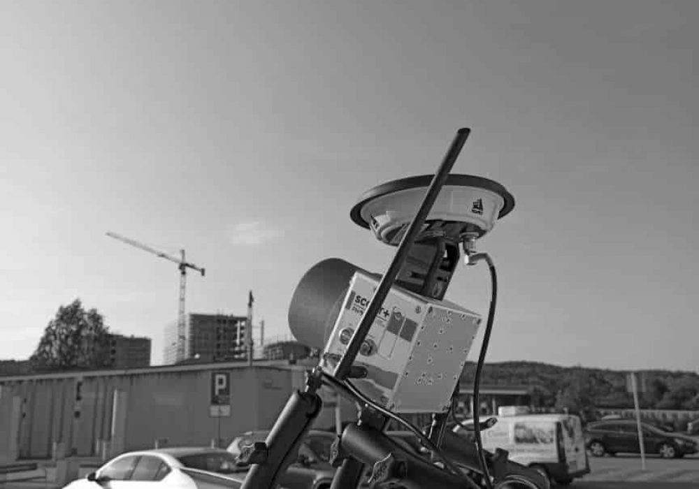
Mobile LiDAR systems have a long history of supporting road administration in the monitoring of roadways and nearby infrastructure. In densely populated urban areas, where flying is not allowed, the LiDAR systems mounted on cars are praised for their high efficiency and great level of detail allowing the extraction of essential features of urban landscape.
Applications
- Surveying and Geodesy
- Civil Engineering and BIM
- Urban Mapping
- Powerlines and Utilities
- Road and Railway Construction
- Archeology
Surveying and Geodesy
LiDAR’s ability to measure hundreds of points/m² in a second combined laser’s with ability to penetrate vegetation are the key factors making geodetic-accuracy mobile LiDAR systems the best technology to create accurate plots terrain models
Civil Engineering and BIM
The LiDAR technology has been widely adopted used accurate and precise measurements of civil engineering projects. Thanks to the implemented SLAM algorithms we are now capable of scanning indoors.
Urban Mapping
Creating 3D digital twins of urbanized areas has never been easier thanks to the mobile LiDAR systems that can be easily installed on and transferred from a UAV to a car or used for pedestrian scanning.
Powerlines and Utilities
The aerial LiDAR surveys are by far the most efficient technology utilized for condition monitoring of power lines, their corridors, and surrounding vegetation. Helping to mitigate risks and prevent failure of the power transmission and distribution networks.
Road and Railway Construction
The comprehensive pre-construction survey is a prerequisite for any road and building construction. With the advent of 3D mobile laser scanning, we are finally able to provide the accurate digital terrain model (DTM) comprising of dozens and hundreds of points/m² at survey-grade accuracy.
Archeology
Aerial LiDAR has revolutionized the face of archaeology by making it possible to detect and measure structures that might otherwise remain hidden under the vegetation.