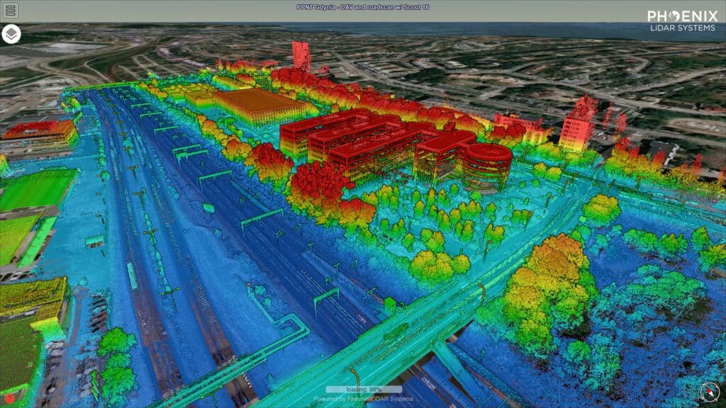
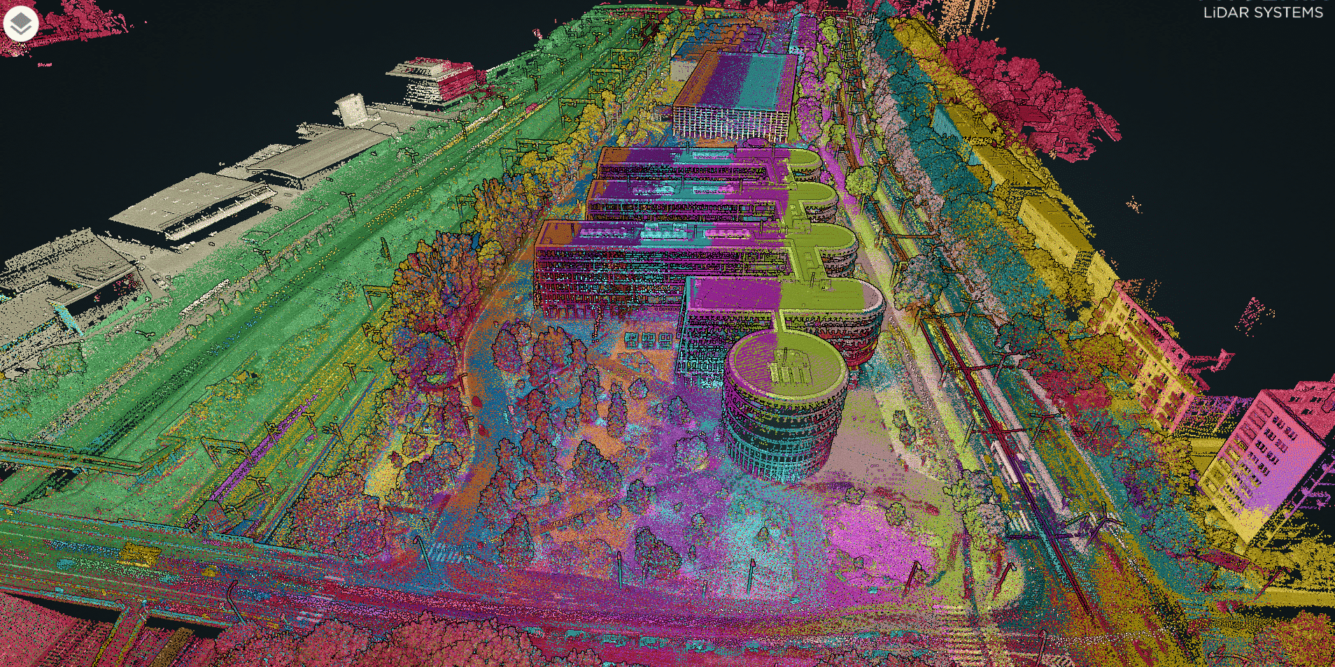
Pomeranian Park of Technology and Science located in Gdynia, Poland covers a 6 ha area between one of the main arteries of city and train tracks connecting Gydnia and its Sea Port with the rest of Poland. Our goal was to build a 3D digital twin of the PPNT Park showing both the bird view together with facades of the buildings and the adjacent infrastructure. To our surprise, the scan of PPNT with a UAV- and car-mounted Phoenix Scout 16 took us 1hr 20 minutes to complete. Post-processing of the scans with LiDARMill and merging in CloudCompare was finished the same evening and a complete georeferenced 3D model of PPNT was ready for delivery to the client the next morning. How was that possible?

Our Scout 16 featuring the classic VLP-16 which is 360° FOV sensors is coupled with the high-performance MEMS IMU-25 and GNSS antenna. Thanks to precisely measured offsets between all three key components we are able to mount our LiDAR system in different configurations e.g. on drones, cars or even handheld mode to acquire complementing aerial and ground mobile scans that merged together make up complete digital twins 3D models.
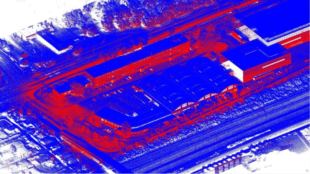
The drone-mounted LiDAR lets us capture topography or the nice arcades, but we would not be able to capture its walls or the interior of this building.
Thanks to mounting the LiDAR on mobile platforms, we are able to complete this otherwise complex urban survey faster than any of the traditional surveying techniques – saving massive amounts of man-hours in the field, while the deliverable is the complete 3D model of the surveyed area.
Fusing aerial and ground scan data into a single complete 3D model is straightforward. In the case of this data set, first, we processed the UAV scan and roads can separately in LiDARMill: in the first set built optimized trajectories in a NavLab pipeline, and later generated 2 point clouds – the UAV scan and the roads can. Having done this, we fused the two-point clouds together using CloudCompare merge feature.

For most surveyors, the decision to purchase a LiDAR system is a major financial commitment. , and hence it is worthwhile to consider the benefits of the versatile 360° LiDAR system that offering higher return on your investment than low-cost LiDAR with narrow FOV.


