UAV LiDAR proved to be the best tool for digital terrain model (DTM) generation, and the only feasibly option in surveys of forested areas – the comparative study by GeoPartner suggests
GeoPartner has been flying UAVs on their surveying projects for nearly a decade. Most recently the company coming from the coastal city of Gdansk, Poland has set off to utilize the Phoenix miniRanger 2 on the railway expansion project in Kartuzy, a small town and a capital and a heart of Kashubia region, Poland.
The pilot project with miniRanger 2
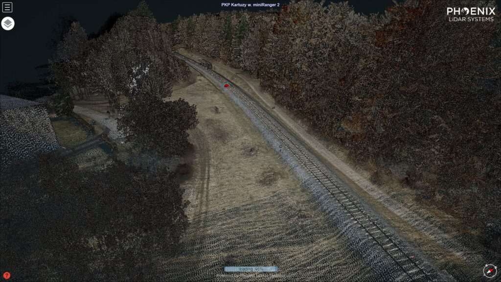
We set off with a goal to collect LiDAR and imagery over an 8 km corridor leading through the forested areas up to the Kartuzy railway station. The project was split into 6 corridor separate flight plans. Most of the planned railway bypass leads through a picturesque but somewhat hilly landscape shaped by the retracting glacier and covered with a mixed forest 30-40 m high. Those sections for the most part planned and flown beyond the visual line of sight (BVLOS).
And the winner is the miniRanger
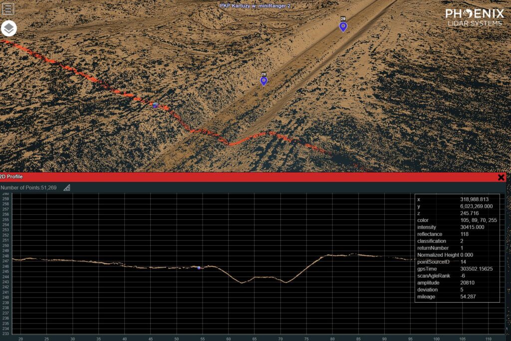
The study that followed the project compared the results collected by the team on the ground with GNSS RTN topo measurements to the results of the miniRanger, photogrammetry and the ALS LiDAR data published by the Polish National Geodetic and Cartography Office.
It took us 2 days of flying with the 2.64 kgs miniRanger installed on M600Pro to complete the scanning part of the project. A fraction of what it would take the GeoPartner ground team equipped with a traditional toolkit to survey the forested section.


