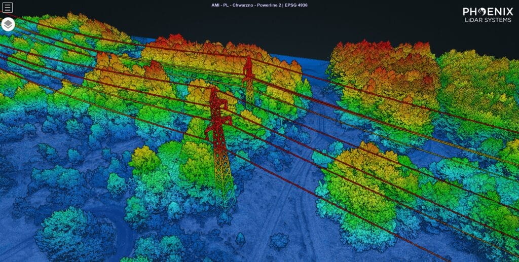
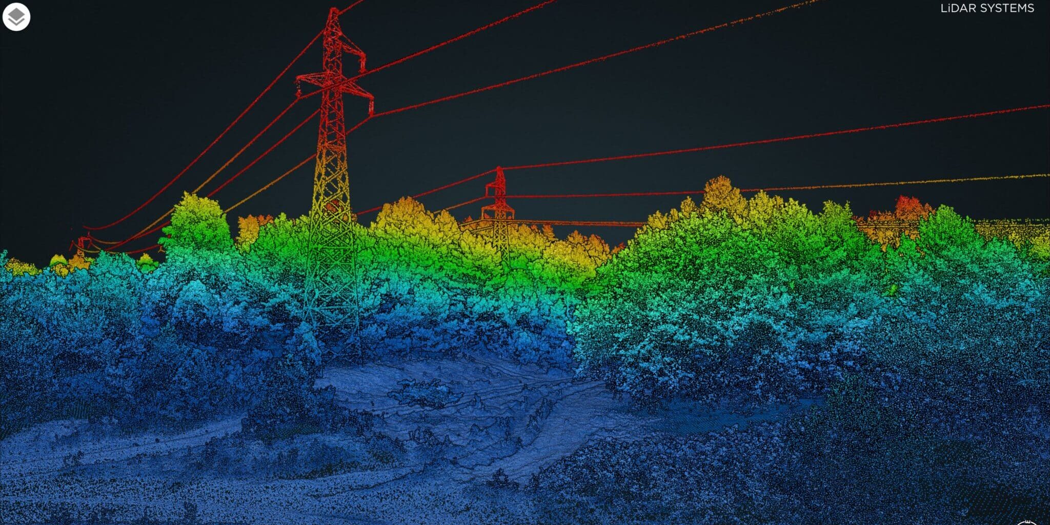
Undisturbed working of power transmission lines requires proper maintenance of the surrounding vegetation. Aerial scan performed by a lidar-equipped drone is the most efficient method to find threatening overgrown trees that need to be prune or cut. The forest corridor to examine was 2 km long and covered an area of 10 hectares.

Scouting
A pre-flight is conducted with DJI Mavic 2 to ensure the mission safety towards possible obstacles
Acquisition flight
This is a typical topography scan for which we utilize the Phoenix’s Scout 16 LiDAR mapping system integrated on DJI M600 Pro. Due to the nature of the area involved we execute the scan in a corridor mode with multiples laser returns.

Two flights only were enough to examine the indicated region. DJI Matrice 600 Pro flew automatically through the route delineated beforehand in Google Earth and Litchi software at 50 m altitude. The multi-lasers Scout-16 LiDAR payload attached scanned tree branches with adequate +/- 5 cm precision.
Data analysis
Using Spatial Explorer software provided by Phoenix Lidar System we merged two collected point clouds into one and (After cleaning the data – removing the noise) performed the points classification into three categories: the ground, the vegetation and the power lines.
Results
The close inspection of clean and classified point cloud revealed no risks from surrounding trees therefore no need to regulate the forest vegetation.


