Category:Topography analysis and environmental control
Scope:DTM of vegetated areas, drainage analysis, identifying landfill
Equipment:Phoenix Scout-16 on DJI M600 Pro
Localization:Bolzano, South Tyrol, Italy
Survey-grade accurate DTM of an apple orchard revealed with the Phoenix Scout 16 UAV LiDAR

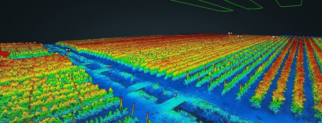
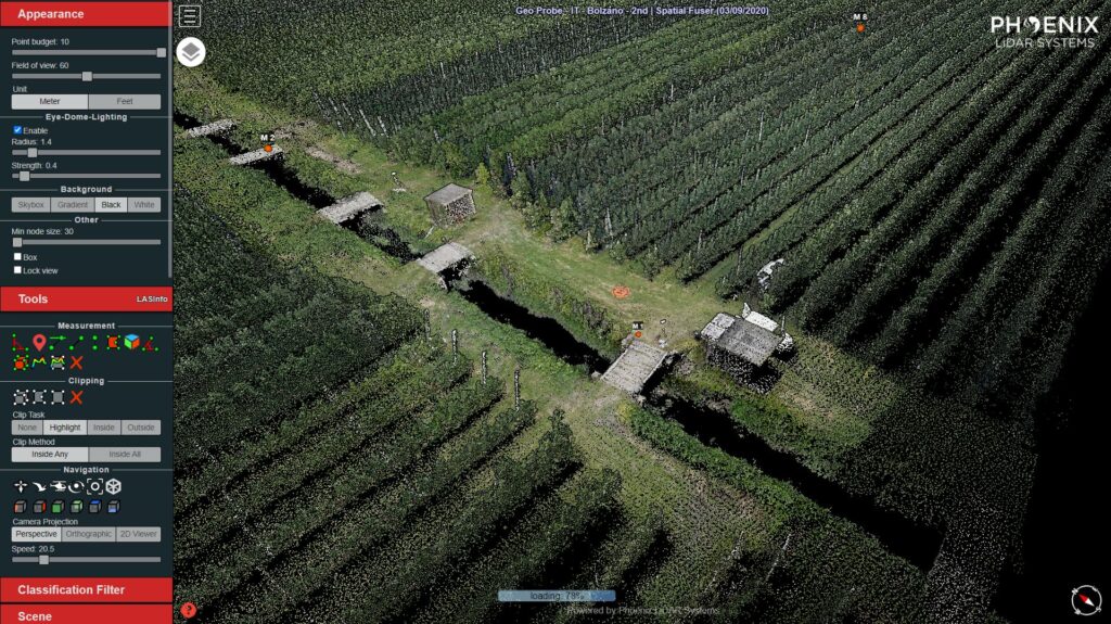
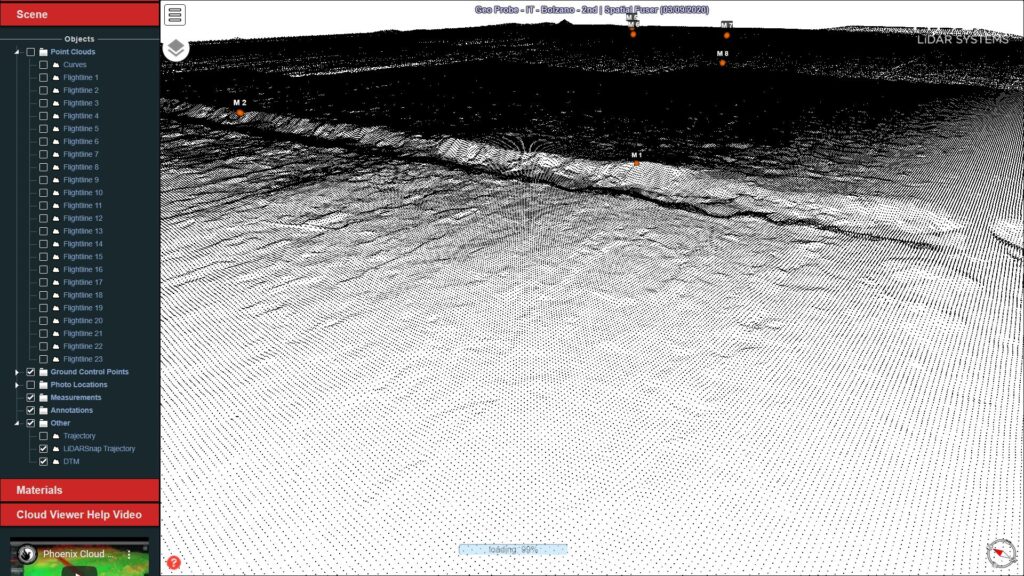
Local authorities of Mela, a picturesque Italian town in a region of South Tyrol, were suspecting the existence of landfills under an apple orchard where local farmers grow region famous Mela Alto Adige (ger. Südtiroler Apfeln). The plot is adjacent to a stream running down through the valley irrigating other orchards and providing habitat to fish. Local authorities alarmed by potential environmental hazards approached GeoProbe to investigate the plot for suspected contamination risk. Alessandro Bozzani of GeoProbe plan was to acquire a cm-accurate digital terrain model of the entire apple orchard. The DTM was expected to reveal any unevenness of the terrain that would suggest landfill areas where GeoProbe could collect samples for further examination in a laboratory.
The surveyor could not acquire actionable data with photogrammetry drone however the orchard
The orchard with the low vergatetion growing along the apples trees was whole covered with a protective net making it impossible for UAV photogrammetry drones to provide any insight. That is Alessandro and his team decided to utilize the industry-standard Phoenix Scout-16 LiDAR on a DJI M600 PRO.

Pre-flight
A pre-flight is conducted with DJI Phantom 4 to ensure the mission safety towards possible obstacles
Acquisition flight
This is a typical topography scan for which we utilized the Phoenix’s Scout 16 LiDAR mapping system integrated on DJI M600 Pro. The area of interest was only 3 hectares which allowed us to cover the whole arena in a single flight with a dual grid way-point flight-plan. To ensure best possible penetration through the apple tree, and the underlying low vegetation, we enabled a dual return (echo) mode in scout 16 and carried out the flight with a speed of 6 m/s.
Results
The same day we were able to deliver a GCP matched DTM (no correction had to be applied due to the high precision of the data acquired) along with a contour map and mission report to the client for the further analysis.


